The world of sonar/gps combos has changed leaps and bounds over the last few years and along with this has been the need for updated lake contour and navigation maps. There are a few companies out there that offer such maps, but the one that has a place in my card slot is Navionics.
I currently own a couple of the older versions of the Navionics chips and without these my ability to locate and catch fish would be drastically affected. The Navionics chips not only help me with contours, but they also allow me to utilize them as navigational aids when fishing at night or on unfamiliar water.
This year I added the Navionics App to my smart phone and this has dramatically improved the way I ice fish the local lakes. I have been able to locate structure that I never knew existed. This was also a huge player in my ability to travel safely and with confidence on the frozen surface of Saginaw bay. The app allowed me to locate the subtle contour changes and find the breaks that were holding fish.

Recently Navionics has come out with the new Navionics + chip. This new chip is an innovative design that has been developed by Navionics to offer the angler and pleasure boater the most up-to-date maps available. This new product allows the user to download any maps in your specified region for up to a 12 month period of time. After the 12 month period you can purchase the update package for another 12 months or you can just use the information that you already have downloaded onto your card.
Why is this a good thing? Well this allows the angler to select only the lakes that he or she intends on fishing and allows maps from multiple regions instead of having a chip for each region the angler can now have one chip that only covers the area that they fish.
The maps are also updated on a regular basis thus allowing the boater to have immediate access to the latest information on the lake that they intend to fish on. If you have a Humminbird unit you can record tracks and then upload them to Navionics. This will then allow a lake map to be updated with the latest info. You will then have access to the new map as well as any other map that someone else may have created.
This is a new product that I am really looking forward to utilizing this year. The new innovations with mapping and chart plotting have dramatically improved the way I am able to attack a body of water and put fish in the boat.
For more information go to the Navionics web site and take a look around. I am sure that you will find a product that will fit your needs and that will help improve your time on the water.
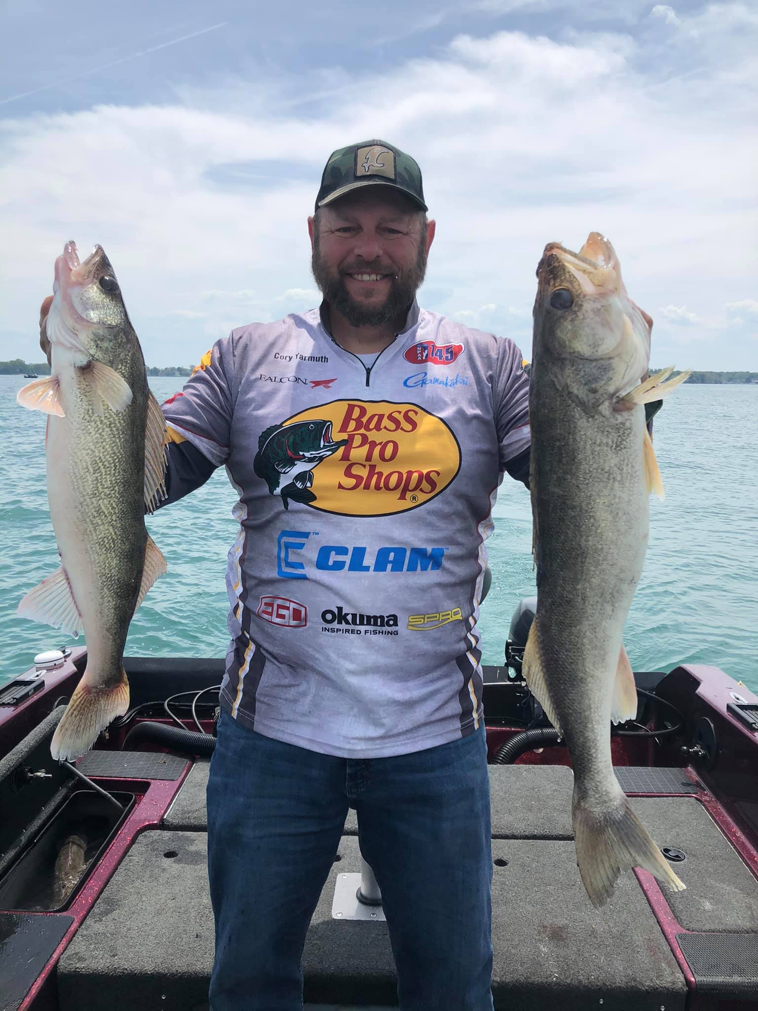
Cory Yarmuth
Legend Outdoors